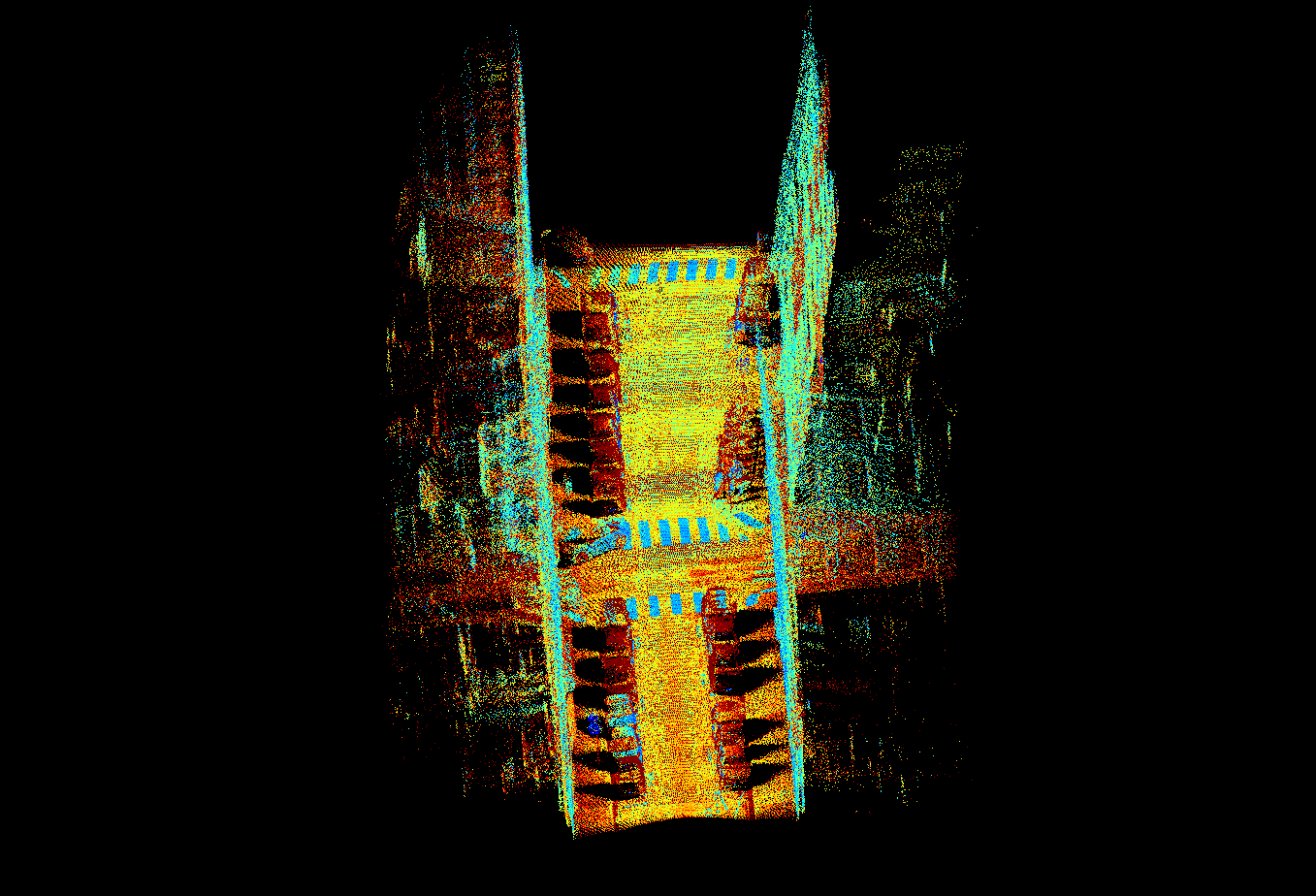
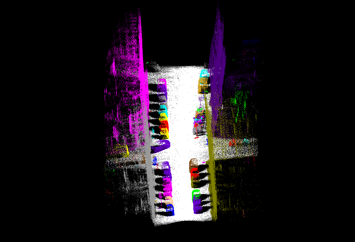
Paris-rue-Madame database (download zip)
Licence:Paris-rue-Madame dataset is made available under the Creative Commons Attribution Non-Commercial No Derivatives (CC-BY-NC-ND-3.0) Licence. Ce(tte) œuvre est mise à disposition selon les termes de la Licence Creative Commons Attribution - Pas d’Utilisation Commerciale - Pas de Modification 3.0 France. Data description:Paris-rue-Madame dataset contains 3D Mobile Laser Scanning (MLS) data from rue Madame, a street in the 6th Parisian district (France). The test zone contains approximatively a 160 m long street section between rue Mézières and rue Vaugirard. The acquisition was made on February 8, 2013 at 13:30 Universal Time (UT). This database has been developed in the framework of TerraMobilita project. It has been acquired by the LARA2-3D prototype, a MLS system from the Robotics laboratory (CAOR) at MINES ParisTech, Pris, France. Annotation has been carried out in a manual assisted way by the Center for mathematical morphology (CMM) at MINES ParisTech, Fontainebleau, France. The dataset contains two PLY files with 10 million points each. Each file contains a list of (X, Y, Z, reflectance, label, class) points, where XYZ correspond to geo-referenced (E,N,U) coordinates in Lambert 93 and altitude IGN1969 (grid RAF09) reference system, reflectance is the laser intensity, label is the object identifier obtained after segmentation and class determines the object category. An offset has been subtracted from the XY coordinates with the aim of increasing data precision: X0 = 650976 m and Y0 = 6861466 m, respectively. The available files are GT_Madame1_2.ply and GT_Madame1_3.ply, both of them coded as binary big endian version 1. In this database, the entire 3D point cloud has been segmented and classified, i.e. each point contains a label and a class. Thus, point-wise evaluation of detection-segmentation-classification methods becomes possible. Conditions of use:The user of this dataset must in every result he distributes:
Contact:In order to keep informed about the potential modifications or to give some feedback about the Paris-rue-Madame dataset, please contact Beatriz MARCOTEGUI or Andres SERNA.
|
|
Research
"If we knew what it was we were doing, it would not be called research, would it?" --Albert Einstein |
TerraMobilita project
|


